
When you get a home insurance quote, the price isn’t pulled out of thin air. Behind it is a set of rating factors: scores, maps and data points that insurance companies use to measure the risk of insuring your specific home. In California, terms like ISO, Verisk, FireLine and brush score come up all the time, and most homeowners have never had them explained.
Let’s change that. Here’s what these terms mean, how they affect your premium, and what you can actually do to improve them.
The big picture: what goes into your home insurance rate
Every carrier has its own formula, but most look at the same core factors:
- Location: where the home is, including its wildfire, weather and crime exposure.
- Fire protection: how well your community can respond to a fire (your ISO Protection Class).
- Wildfire risk score: the vegetation, slope and access around your property (FireLine or a similar brush score).
- The home itself: age, construction, square footage, roof, and the condition of plumbing, electrical and heating.
- Rebuild cost: how much it would cost to rebuild, which drives your dwelling coverage amount.
- Claims history: past claims on the property and by you.
- Your choices: coverage limits, deductible and endorsements.
Two of these, ISO and the wildfire score, cause the most confusion. Let’s break them down.
Who are ISO and Verisk?
ISO (Insurance Services Office) is a company that collects and analyzes data for the insurance industry. ISO is part of Verisk, a data analytics company. Insurers use Verisk and ISO tools for many things, including the two scores that matter most for California homeowners: the Public Protection Classification and the FireLine wildfire score.
What is the ISO map, and what does it measure?
When people talk about “ISO mapping,” they usually mean your home’s Public Protection Classification, or PPC. It’s a rating from 1 to 10 that measures how well the local fire protection system can respond to a structure fire. Class 1 is the best. Class 10 means the area doesn’t meet ISO’s minimum criteria.
Does it only measure distance to the fire station and hydrant?
No, and this is the most common misunderstanding. Your PPC is built in two layers:
Layer 1: How good is the community’s fire protection? ISO surveys each fire protection area and grades it on three main things:
- The fire department (about 50%): staffing, training, equipment, number and location of stations.
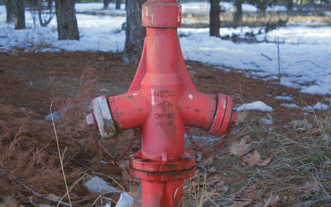
- Water supply (about 40%): whether the water system can deliver enough flow to fight a fire, and hydrant condition.
- Emergency communications (about 10%): how 911 calls are received and dispatched.
- Community risk reduction: extra credit for fire prevention codes, public education and fire investigation.
Layer 2: Where does your home sit? This is where distance comes in. Most communities have a split classification, and the distances decide which one applies to your home:
- Within 5 road miles of a responding fire station AND within 1,000 feet of a hydrant (or other creditable water supply): you get the community’s best class.
- Within 5 road miles, but more than 1,000 feet from water: you get the higher second class, often shown as something like 4Y or 8B.
- More than 5 road miles from a station: generally Class 10. Some areas use 10W for homes 5 to 7 road miles away that do have water nearby.
Notice the words road miles. It’s the driving distance along roads, not a straight line on a map. That matters a lot in the foothills, where a station that looks close might be a long drive around a canyon.
Why mapping errors happen
Insurers’ systems place your home on a map using its address. In rural areas, long driveways and newer addresses can be mis-located, sometimes putting a home on the wrong side of a 5-mile or 1,000-foot line. A hydrant that was recently installed may not be reflected yet. That’s why we verify each home’s ISO mapping, checking the actual distance to the nearest fire station and hydrant rather than taking the computer’s word for it.
What is a FireLine score or brush score?
Your ISO class measures fire protection. A wildfire score measures wildfire exposure: how likely a wildfire is to reach your home and how intense it could be.
FireLine is Verisk’s wildfire risk model, originally developed with California insurers. It uses satellite imagery and mapping to score each property on three factors:
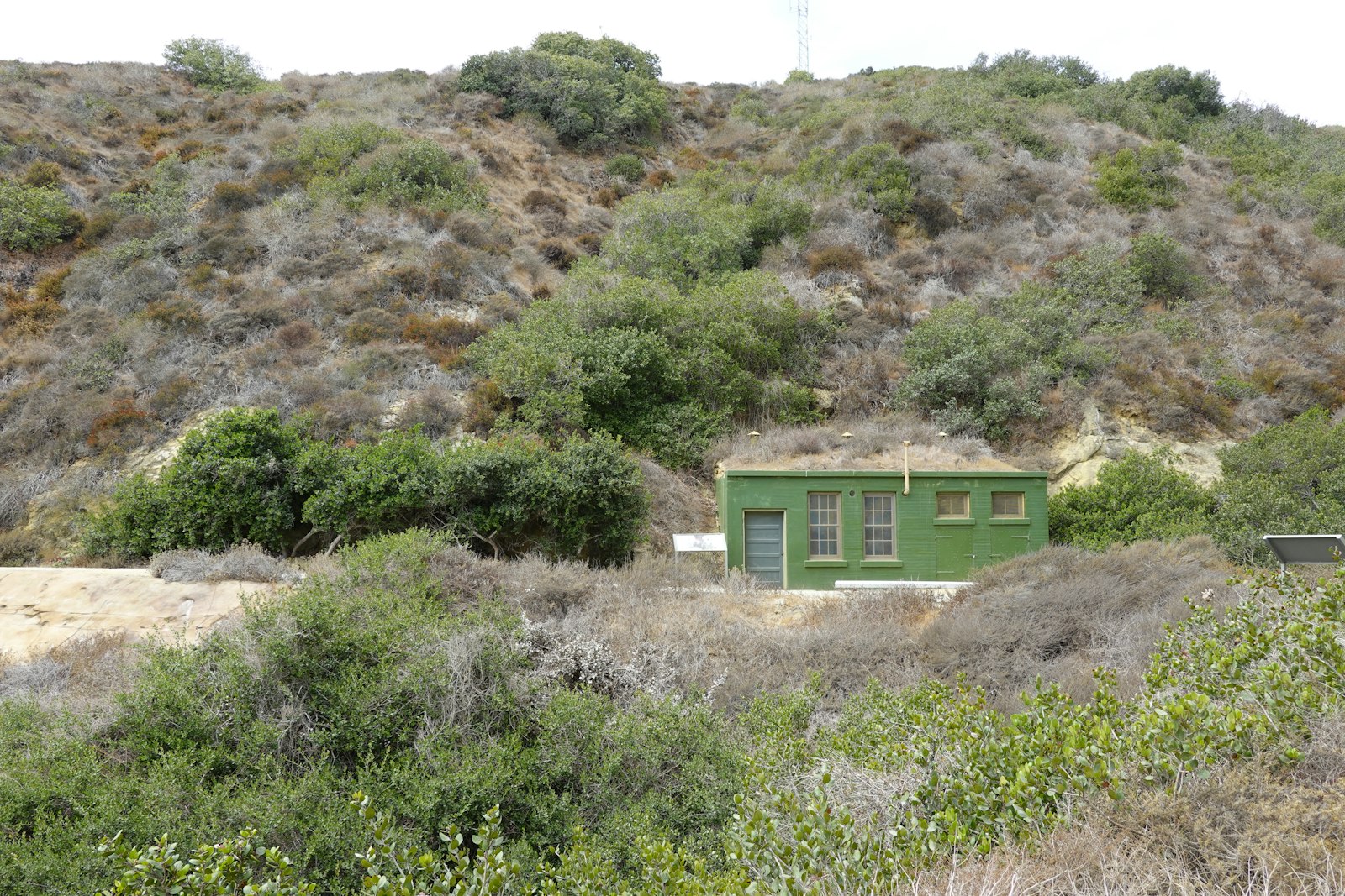
- Fuel: the brush, trees and grass around the property that could feed a fire.
- Slope: the grade of the land. Fire moves faster and burns hotter uphill.
- Access: the roads leading to the property. Narrow, dead-end or dirt roads can slow fire crews.
These combine into an overall wildfire hazard score from 0 to 30. The higher the score, the higher the risk. FireLine also considers exposure to wind-blown embers.
What’s a “brush score”?
“Brush score” is the everyday term for a wildfire risk score. Some carriers use FireLine, some use other models (such as those from CoreLogic or Zesty.ai), and some build their own. The California FAIR Plan uses brush-score bands too. Each carrier sets its own cutoffs, so the same home can be acceptable to one carrier and declined by another. That’s one of the biggest reasons to work with a broker who shops multiple carriers.
You have a right to know your score
Under California’s Safer from Wildfires regulation, insurers must provide your property’s wildfire risk score on request and give you a way to appeal it if you believe it’s wrong. If your score seems off, for example because you’ve cleared brush or the model misreads your land, it’s worth asking.
How to improve your home’s rating factors
Lower your wildfire score
- Reduce fuel. Thin brush, remove dead vegetation, and limb up trees. Maintain defensible space in Zone 1 (5 to 30 feet) and Zone 2 (30 to 100 feet).
- Clean up Zone Zero. Keep the first five feet around the home free of mulch, leaves, firewood and other combustibles. See our Zone Zero guide.
- Improve access. Clear vegetation along your driveway so fire trucks can get in, and post a visible address number.
- Get community credit. Neighborhoods recognized as Firewise USA sites can qualify for Safer from Wildfires discounts.
Harden the home
- Class A roof and clean gutters.
- Ember-resistant vents (1/16 to 1/8 inch mesh) to keep embers out of the attic and crawl space.
- Six inches of noncombustible material at the base of exterior walls.
- Enclosed eaves and dual-pane or tempered windows.
Many of these are on the Safer from Wildfires list, which means admitted carriers must offer discounts for them.
Update and document the house
- Update older plumbing, electrical, roofing and water heaters, and keep receipts with dates.
- Add monitored smoke and burglar alarms and water leak sensors.
- Check your data. Make sure the carrier has the right year built, square footage, roof age and construction type. Errors cost money.
- Take dated photos of mitigation work. Carriers often require proof before applying credits.
Manage your claims and coverage
- Use insurance for significant losses and handle small repairs yourself. Frequent small claims can affect your rate and eligibility.
- Consider a higher deductible if you can comfortably afford it.
Verify your ISO mapping
You can’t move the fire station, but you can make sure your home is mapped correctly. If you live near the 5-road-mile or 1,000-foot line, ask us to check. A corrected address location or a newly installed hydrant can change your class.
Let’s look at your home’s numbers
Wondering what your ISO class or wildfire score is, or whether they’re costing you money? We’ll review your home’s rating factors, verify the mapping, and shop carriers whose guidelines fit your home best. Book a 30-minute review with me or request a free quote.
More reading: Admitted, Non-Admitted and the CA FAIR Plan and Home Insurance Tips for First-Time Home Buyers.
Specialists in California’s wildland-urban interface, where homes meet forest, brush and grassland.
Phil Irwin, President, Gold Insurance Solutions. CA License #6000540. General information as of October 2026. Each carrier uses its own rating and underwriting methods.